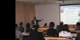
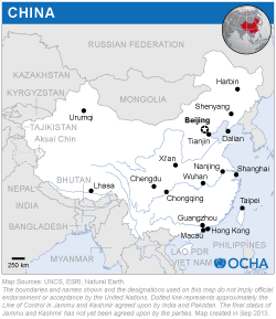
Experts were from UN-SPIDER, Delta State University (United States), the Asia-Pacific regional office of the Office for the Coordination of Humanitarian Affairs of the Secretariat, the University of Twente (Netherlands), IWMI and the Bureau for Crisis Prevention and Recovery of the United Nations Development Programme (UNDP).
The course, which was part of an Institutional Strengthening Mission, focused on disaster risk assessment (especially flood and drought), relief needs assessment, situation analysis, early warning systems, and international standards related to disaster prevention and mitigation. The objective of the training was to strengthen the capacity of the national agencies to use geospatial technologies for flood and drought management. It provided an insight on the use of satellite images and spatial information in flood and drought risk management by providing hands‐on training on using spatial data for risk mapping, flood modelling and rapid mapping (damage assessment). Thus, the training demonstrated the use of space based information in the entire cycle of flood management. The participants benefited from the experience sharing by experts from the centres of excellence, demonstration of the best practices in various countries and practical sessions on the software tools. Subjects included: integrating climate change adaptation, sustainable development and ecosystems in disaster risk reduction; integrating geospatial technologies for crisis management; using secondary data in humanitarian needs assessments; disaster risk modelling, mapping and profiling for public decision-making; object-oriented image analysis methods in disaster risk management; use of remote sensing data in flood mapping and modelling; and case studies from Asia and Africa.


