In 2007, the crowdsource mapping community OpenStreetMap launched a project called "OpenAerialMap" (OAM). Due to several challenges, such as scaling the hosting and licensing, the project was shot down after a year. Now, the Humanitarian OpenStreetMap Team (HOT) launched a new attempt of the project.
With funding from the Humanitarian Innovation Fund, OpenAerialMap seeks to make imagery from satellites, Unmanned Aerial Vehicles (UAVs) and other aircraft available to support humanitarian response and disaster preparedness.
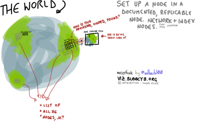
In a recent blogpost, HOT elaborates: "OpenAerialMap will be a distributed catalogue and hosting service of imagery. A user will be able to go to OAM and search to see what free imagery is available in the area they are interested in. Imagery in this case means georeferenced photos from satellites, UAVs or other aircraft. Key to its availability and accessibility is that OAM will be a distributed system, meaning that responsibility will rest with the commons and not any one organisation."

