![]()
United
Nations
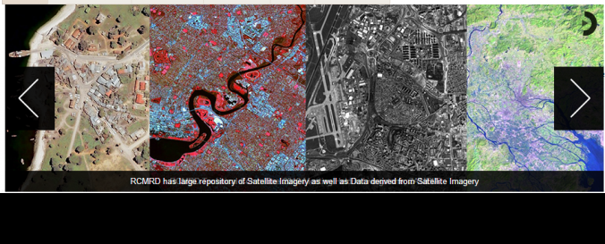
Regional Centre for Mapping of Resources for Development (SPOT, Landsat, GeoEye) (RCMRD)
| Data provided by: | Regional Centre for Mapping of Resources for Development (RCMRD) |
| Data accessibility: | export data, export map, statistical data (e.g. graphs), visualization of data (e.g. web GIS or real time monitoring), web processing/cloud computing |
| Link to the data: | |
| Requirements: | Write Data Request to: remotesensing@rcmrd.org |
| Data type: | baseline data, land use, land cover data, satellite data or aerial image |
| Hazard: | Drought, Earthquake, Tsunami, Extreme Temperature, Pollution |
| Disaster cycle phase: | Disaster Risk Management, Response, Recovery |
| Space-based Information: | Landsat, SPOT |
| Satellites and Sensors: | IKONOS, Aqua, Terra, ENVISAT (AATSR), ENVISAT (ASAR), ENVISAT (GOMOS), ENVISAT (MERIS), ENVISAT (MIPAS), ENVISAT (MWR), ENVISAT (RA-2), ENVISAT (SCIAMACHY) |
| Spatial coverage: | Global |
| Spatial resolution: | 30.00 |
| Temporal coverage: | Archive, Forecasted, Near-real time |
| Content dates: | 1972 to date |
| Costs: | free |
| Contact: | Contact |
| Restrictions/ Citation of the dataset: | |
| Case Study: | African Geodetic Reference Frame (AFREF) |
Provider
![]()