![]()
United
Nations
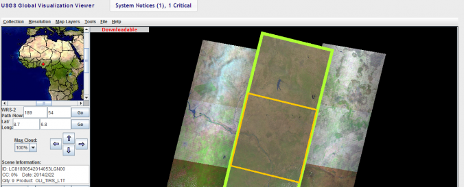
Global Visualization Viewer (USGS)
| Data provided by: | United States Geological Survey (USGS) |
| Data accessibility: | statistical data (e.g. graphs), visualization of data (e.g. web GIS or real time monitoring), web processing/cloud computing |
| Link to the data: | |
| Requirements: | JAVA, Microsoft Windows XP, Vista, 7, 8, and Server, 32-bit and 64-bit, Apple Macintosh OS X 10.7.3 (Lion x64) or greater |
| Data type: | baseline data, land use, land cover data, satellite data or aerial image |
| Hazard: | Forest Fire, Drought, Earthquake, Flood, Extreme Temperature, Pollution |
| Disaster cycle phase: | Disaster Risk Management, Response, Recovery |
| Satellites and Sensors: | Terra (ASTER), Aqua, Terra, Landsat 7, Landsat 4, Landsat 1, EO-1 (ALI), EO-1 (Hyperion) |
| Spatial coverage: | Global |
| Spatial resolution: | 240.00 |
| Temporal coverage: | Archive, Forecasted, Near-real time |
| Content dates: | 1982 to date |
| Technical Specifications: | |
| Costs: | free |
| Tutorials on the use of data: | Quick Start Guide, GLOVIS User Guide |
| Restrictions/ Citation of the dataset: |
Provider
![]()