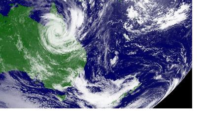
Scientists are trialling the use of satellites to improve early warning systems but local weather watchers warn they won't prevent a repeat of the devastating floods that claimed lives last month. The Tropical Rainfall Measuring Mission, a joint venture between NASA and the Japan Aerospace Exploration Agency, is capturing images from an orbiting satellite which is already proving data for real-time river forecasting in Bangladesh with plans to take it global by 2013.
While satellites are already used to monitor weather patterns likely to produce heavy rainfall the new trial hopes to identify patterns in tropical rainfall that could lead to flooding and the effects climate change has on annual rainfall. Bruce Gunn of the Bureau of Meteorology said satellites could not replace ground-level monitoring but it would help forecasters "fill in the gaps".
"We already have access to some satellite information and this would help but it couldn't be seen as a replacement for our suface-based flood warning networks," Mr Gunn said. "That type of orbiting satellite (the TRMM) only passes the same location a handful of times a day and doesn't sample rainfall events enough to provide reliable data. The TRMM satellite measures rainfall in tropical regions, including the ocean, where very little is known about rain in remote areas.

