![]()
United
Nations
ET GeoWizards
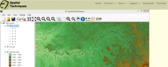
| Description: | ET GeoWizards is a set of powerful functions that will help the GIS professionals to manipulate data with easy. It offers more than 100 functions for spatial data conversion, analysis, topological cleaning, sampling and many more. ET GeoWizards was initially developed as an extension for ArcGIS and for the last 15 years it has become the most popular third party ArcGIS extension for data processing. |
| Software type: | Desktop GIS |
| Accessibility: | Install only |
| Requirements: | The software requires a registration and a payment. It however has many free functions that can be used without purchasing a license and registering the software. Until registered ET GeoWizards runs in DEMO mode. |
| Computer System: | Windows |
| Scope: | Image processing, Visualisation |
| Vector/Raster: | Vector, Raster |
| Optical data or radar data format: | Optical |
| Graphical user interface: | Yes |
| Costs: | Free to try |
![]()