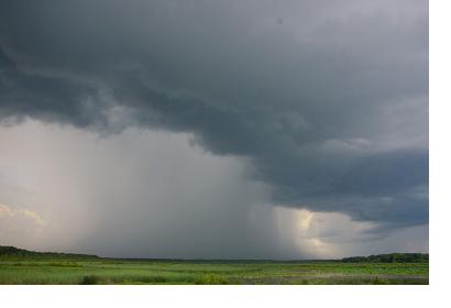
By analyzing the distorted GPS signals during storms, researchers have discovered a new way of measuring and mapping the wind speeds of hurricanes. The discovery is of great importance for the disaster and risk management community, since better knowledge about storm behavior can help determine the direction and severity of the storms approaching.
This new measuring technique is the result of years of combined efforts from NASA and NOAA scientists in order to come up with a method that can add a much broader view of storm's wind speeds than currently possible. Test flights on storm-hunting airplanes of the National Oceanic and Atmospheric Administration (NOAA) – nicknamed Hurricane Hunters – demonstrate that the system provides valuable information at little additional cost, according to Stephen Katzberg, a Distinguished Research Associate at the NASA Langley Research Center in Hampton, Va., and a leader in the development of the new GPS technique.
GPS satellites are constantly emitting radio waves towards the ground which are able to reflect off a surface. " When a GPS signal strikes a wave, the rough surface distorts the reflection by scattering the signals in various directions", said Katzberg, "The radio wave bounces off the waves," continues Katzberg "as the surface gets rougher, the reflections get more disturbed and that's what we measure."

