The risk of natural disasters can be reduced by understanding our environment and the fundamental forces that shape it. Earth-observing satellites can provide vital information to mitigate and prepare for disasters. These data can support risk assessment for a range of hazards, from hydrometeorological risks to geo-hazards such as landslides and terrain subsidence.
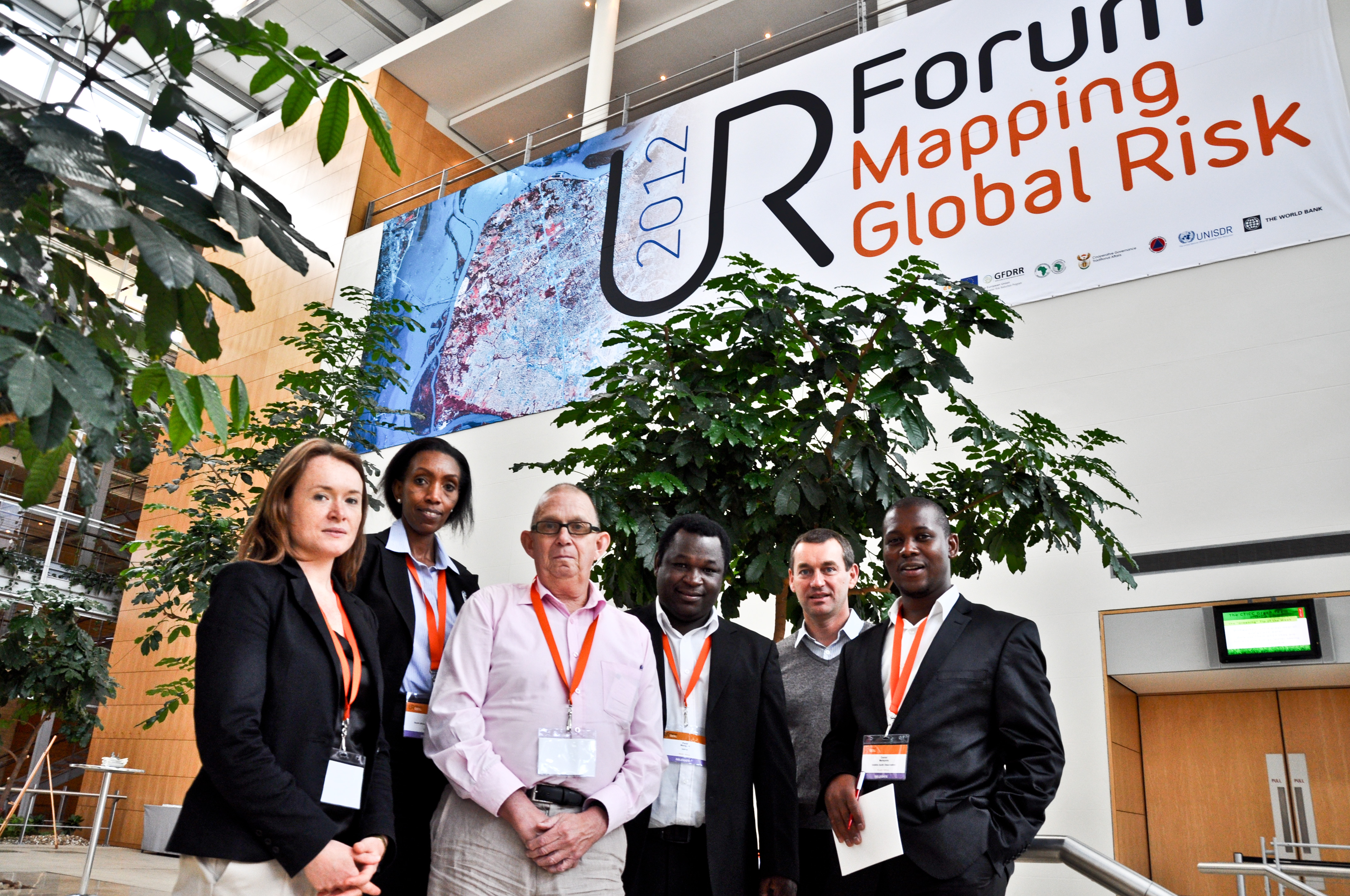
This was one of the topics discussed at the recent biannual conference on mapping global risk, the Understanding Risk Forum. Held in Cape Town, South Africa earlier this month, the Forum was organised by the World Bank’s Global Facility for Disaster Risk and Recovery. The importance of Earth-observing satellites for improving knowledge of hazards and risks came into focus at the Forum’s Earth Observation session chaired by ESA alongside the South Africa National Space Agency.The session brought together the National Hydrological Services of Namibia, the Regional Centre for Disaster Risk Reduction, the Regional Centre for Mapping of Resources for Development and the World Bank. Discussions concentrated on how satellite Earth observation can support scientists and operational users for a range of applications.