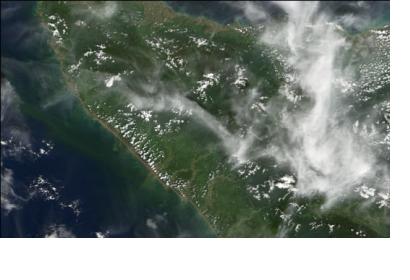
In line with Indonesia's One Map Initiative (OMI) launched in 2012, indigenous communities are using GPS technology to demarcate the boundaries of their ancestral lands including forests, reported The Guardian yesterday.
A spokesperson of the Indigenous Peoples' Alliance of the Archipelago (Aman), a Jakarta-based secretariat representing more than 2,000 communities, says that community map making proved useful to the communities in their pursuit to protect their lands and forests.
Additionally, the 2D and 3D maps could help mitigate the impact of climate change by an improved land and forest management. "Indonesia's forests are recognised as important, not only at local and national levels but also at the global level, as they include some of the world's most important forests with the highest values for biodiversity and carbon," says Gustavo Fonseca, the head of the natural resources team for the Global Environment Facility.
The digitized maps will include spatial elements like physical geography of land formations and ritual sites and non-spatial information such as cultural sites. Up until now the maps cover more than 5.9 acres of indigenous communities’ territory. Currently, the indigenous maps are in the Indigenous Geospatial Registration Body (BRWA). BRWA contains various geo-spatial information necessary to enhance One Map Indonesia.

